


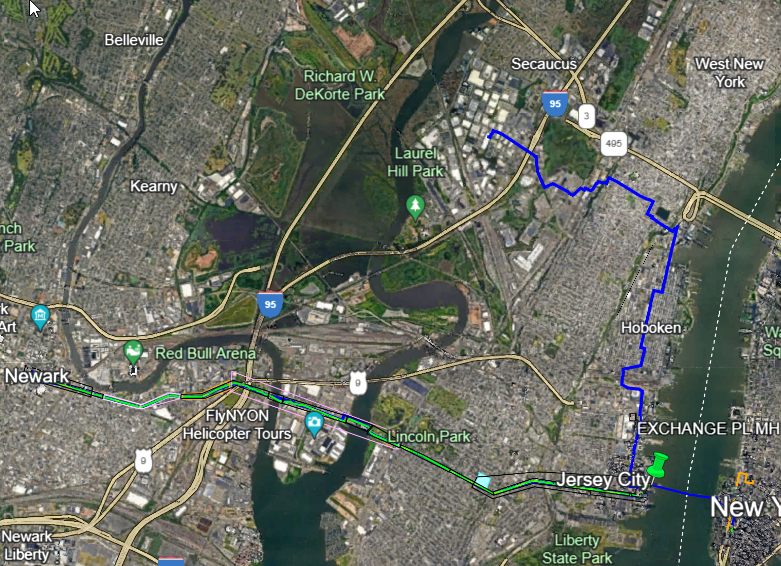
 A collection of metro fiber maps for the New York metropolitan area, including New York City, Long Island, Westchester County, New Jersey, and southwestern Connecticut.
| Name | Maps | Lit/Dark | Comments |
|---|---|---|---|
| BestWeb | NY: Westchester, Rockland, Putnam Counties | both | |
| Crown Castle | NYC, New Jersey | both | |
| Hudson Fiber | NYC, Northern NJ | both | |
| GIX | NYC, Northern NJ | both | |
| Level 3 Communications | NYC, White Plains, North/Central NJ, Stamford | both | Google Maps, zoom in |
| OCG | NY Metro, Manhattan, Brooklyn/Queens, Staten Island, Nassau/Suffolk | dark | |
| Lightpath | Interactive Map | lit | |
| Windstream | New York, northern NJ | both | |
| United Fiber & Data | New York, northern NJ | both | |
| Zayo | NY Metro | both | Google Maps, zoom in |
| ZenFi Networks | New York, New Jersey | dark | |
| Still seeking maps for the following known providers: | |||
| Atlantic Metro | lit | ||
| CenturyLink | |||
| Cleareon Firber Networks | dark | ||
| Cogent Communications | lit | on-net buildings tool | |
| XO Communications | Substantial | ||
Where possible, all links are to metro fiber maps offered on the website of the company operating the fiber. I prefer such links, but will sometimes host the files myself where the operator agrees, and in rare cases may point to third party maps. Where available, links to on-net building lists are also given.
Additional maps of metro fiber networks that ought to be on this list are very welcome, as are corrections to the above map links. Please just leave a comment below or send an email to info@telecomramblings.com.
Added Pangaea Networks’ NY/NJ map. I have made an exception given that there is no map currently to link to on their own site, and hosted it on TelecomRamblings with permission.